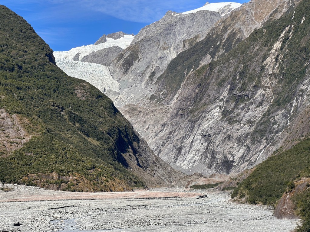
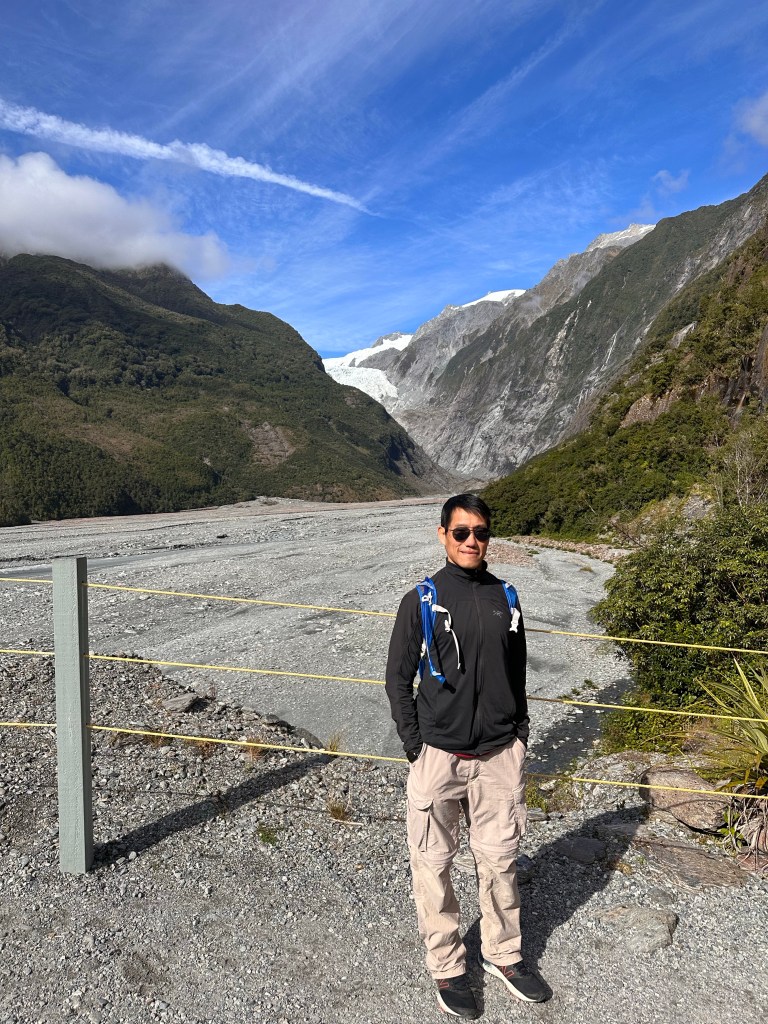
The southern alps in New Zealand is where you used to be able to hike up to glaciers. As a result of global warming, the glacier terminal has retreated so far that it is no longer possible to walk up to it. Eighteen thousand years ago, the glacier reached as far as the Tasman Sea based on moraines found in the area, but now it ends more than 10 miles from the coastline. There is the option to helicopter up to the glacier (which is heavily advertised in the area), but does anyone not see the irony in that activity?
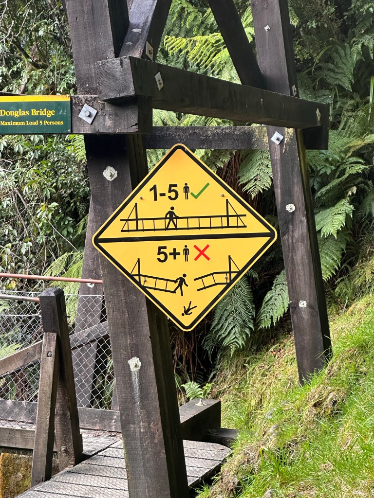
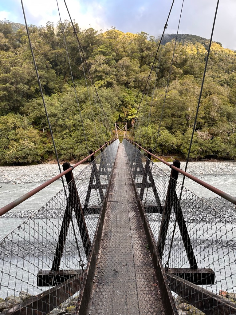
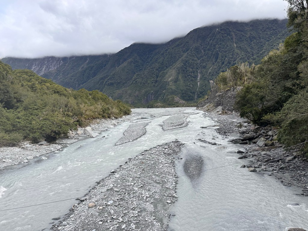
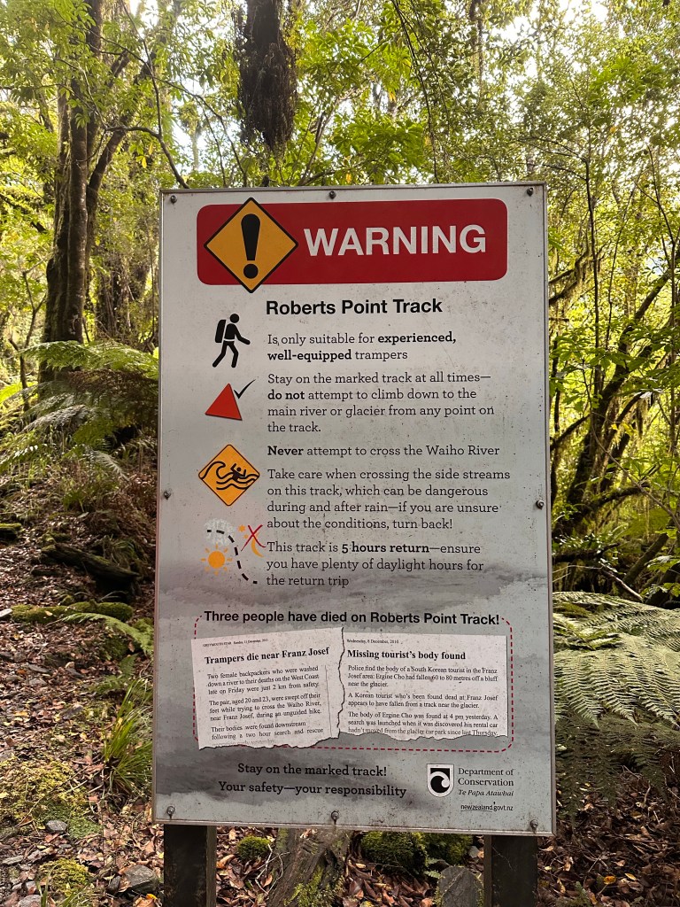
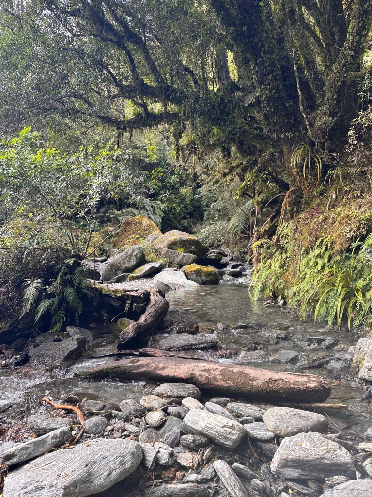
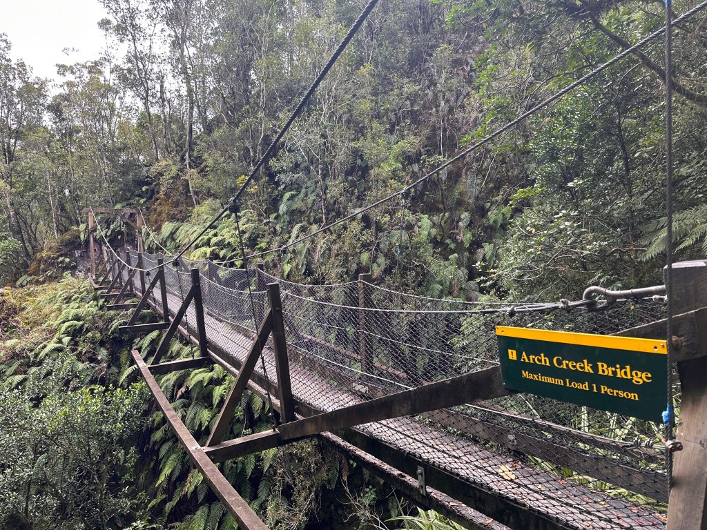
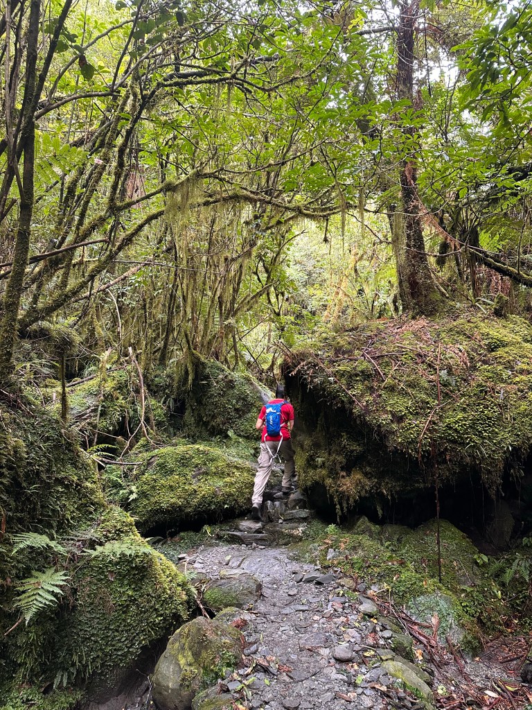
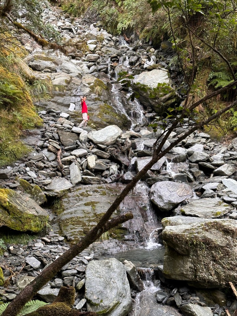
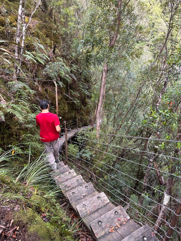
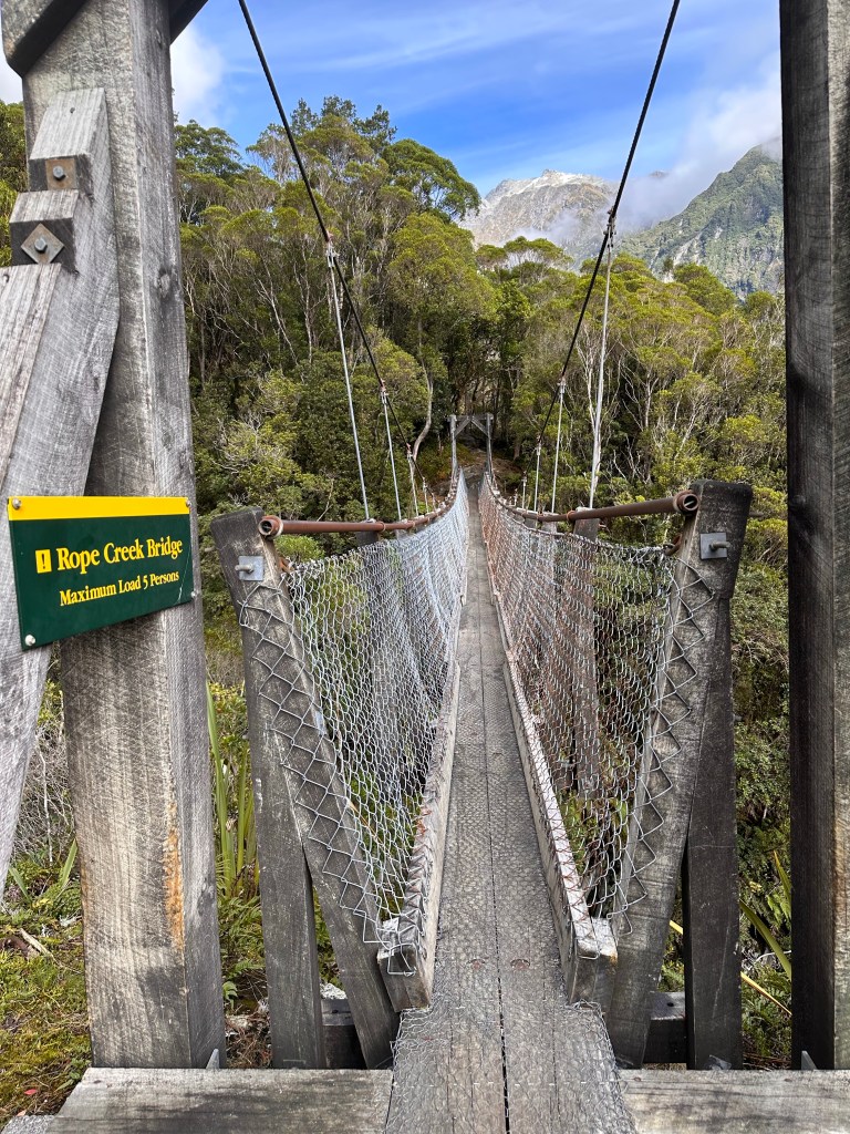
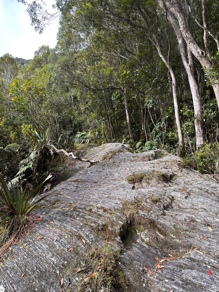
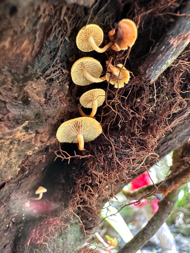
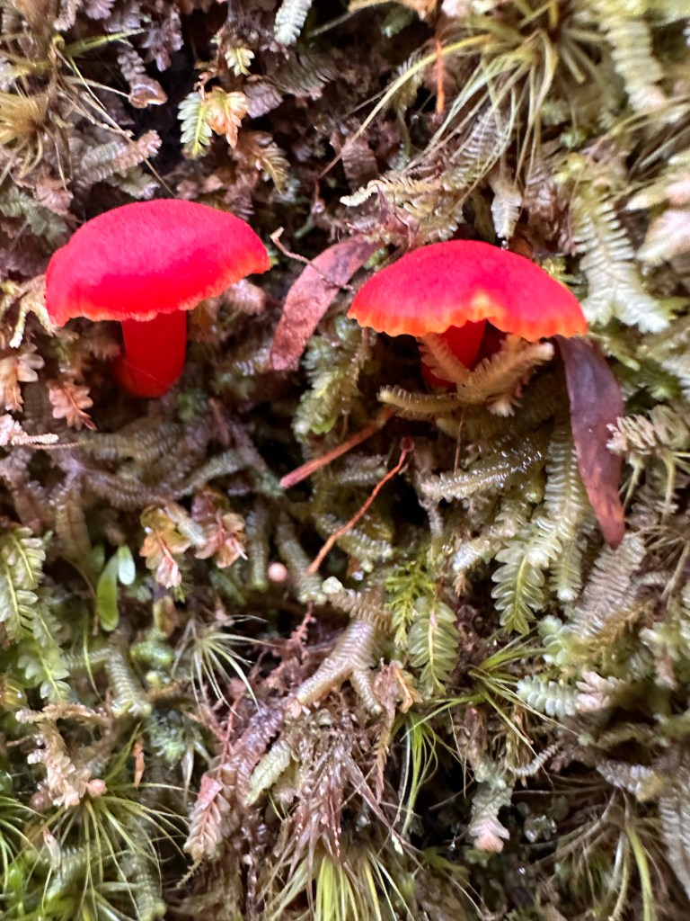
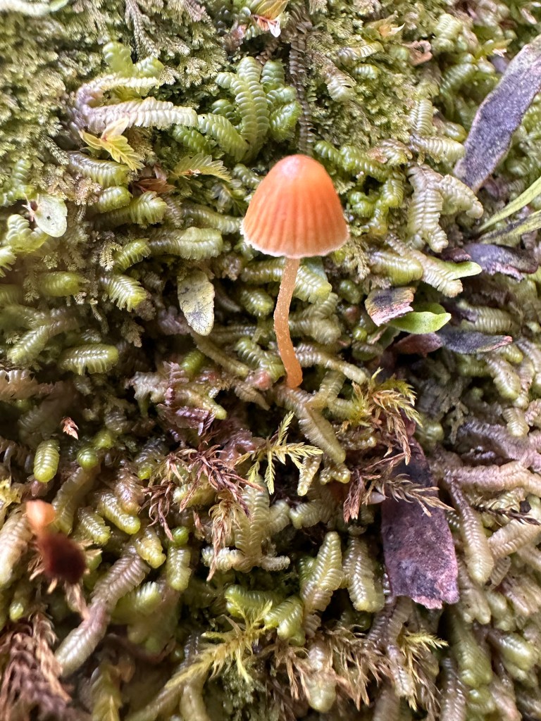
The glacier walking path used to get you somewhat close to the terminus.But the collapse of the terminus a few years ago led to the closure of the path, as the glacier was deemed to be too unstable and dangerous.So this is as close as you can get these days.The Roberts Point Track in the Westland Tai Poutini National Park, on the other hand, can get you a wee bit closer. However, it requires a lot more effort, and luckily this sign post spelled out the distance (7.6 miles) so that we knew exactly what we were looking at. We don’t quite understand the time estimates as all hikers hike at different speeds. But, we soon learned to subtract 15-18% from the New Zealand time estimates for all our future hikes.In the early 1900’s, the glacial terminus ended here at Peter’s pool.First swing bridge crossing the Waiho River.Signs and pictographs in New Zealand are very easy to understand..The Waiho riverA final warning located after the bridge crossing.Path includes hiking through streams large and small.And across a total of 4 swing bridges short andlong.But the best part of the trail is that it is unpaved and rugged just like a hiking trail should be.With vertical climbs up tree rootsand rocks.Crossing waterfallsand looking outat the expansive views.But when trails end at vertical drops,Steps are secured into the sides of rock walls to allow hikers to continue on.Fourth, and last, swing bridge on the trail.Want rock scrambling? You got it..More waterfall crossings.Ran right into a branch with my head down, and when I looked up, I saw the underside of this beautiful cluster of mushrooms.For size comparison, that is my pinky, which is very small to begin with.In fact, there are so many different colorful tiny mushrooms and fungi along the trail.Triton Falls
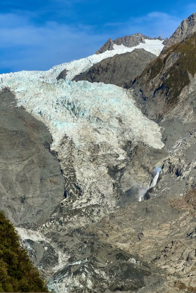
When we finally reached the viewing platform, we were still a good distance away from the glacier terminus.
But closer than before.3x zoom on the iPhone allows you to see the details, including a waterfall near the base.
If you are able, this trail is definitely a must do if you find yourself in the area.