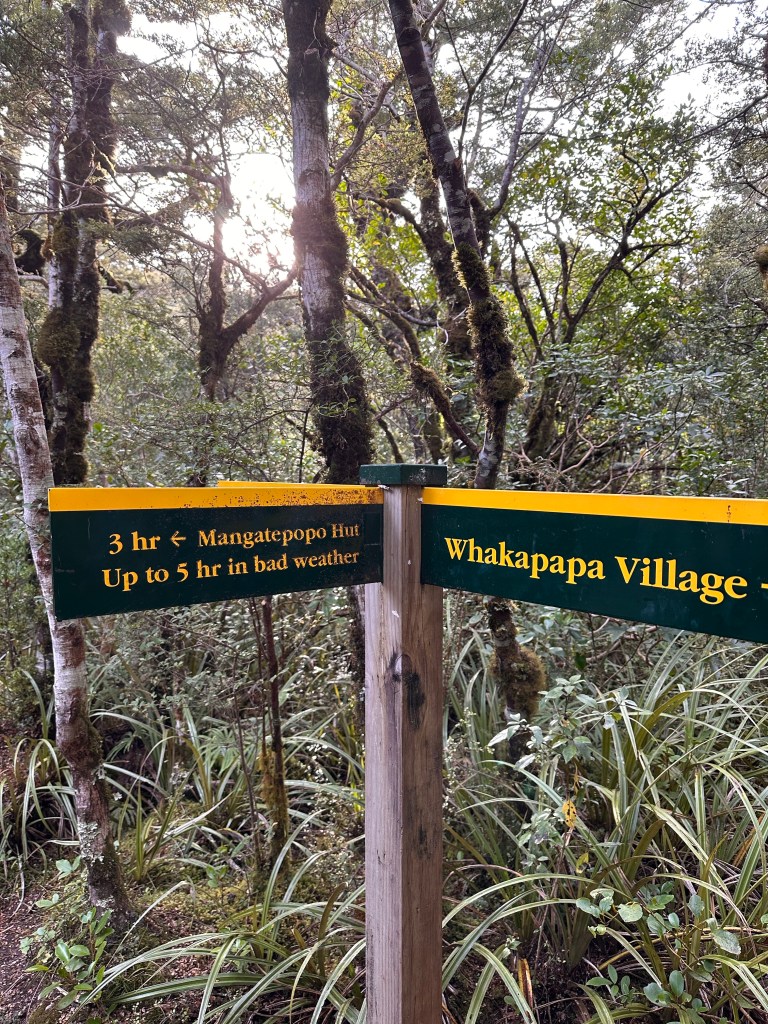
Continuing on with our Lord of The Rings circuit, we stopped by the Tongariro National Park for a hike. The most well known hiking trail in the park is the point to point 12-mile Tongariro Alpine Crossing. Unfortunately, the steep decent down gravel was not a good option for Joe’s ankles, so I mapped out the trail to the Taranaki Falls, and possibly further on to the Lower Tama Lake depending upon how he feels. It wasn’t clear to me the exact distance of the trails as that information wasn’t widely available online. I figured we’d find out when we get to the trailhead.
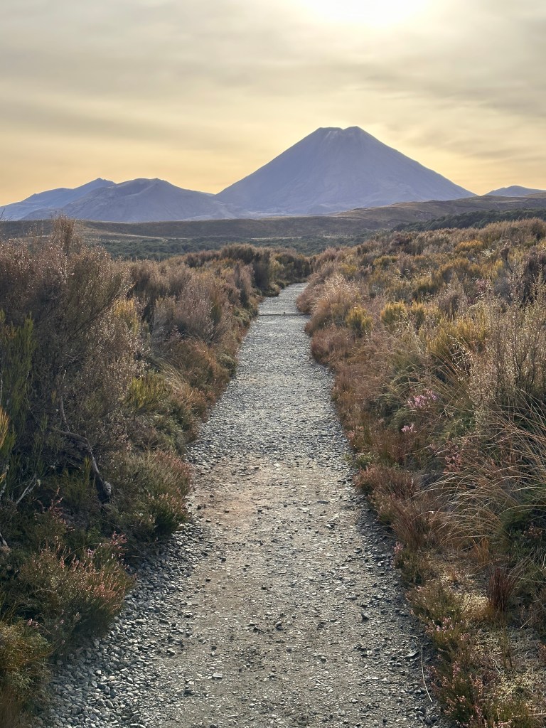
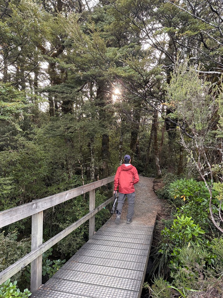
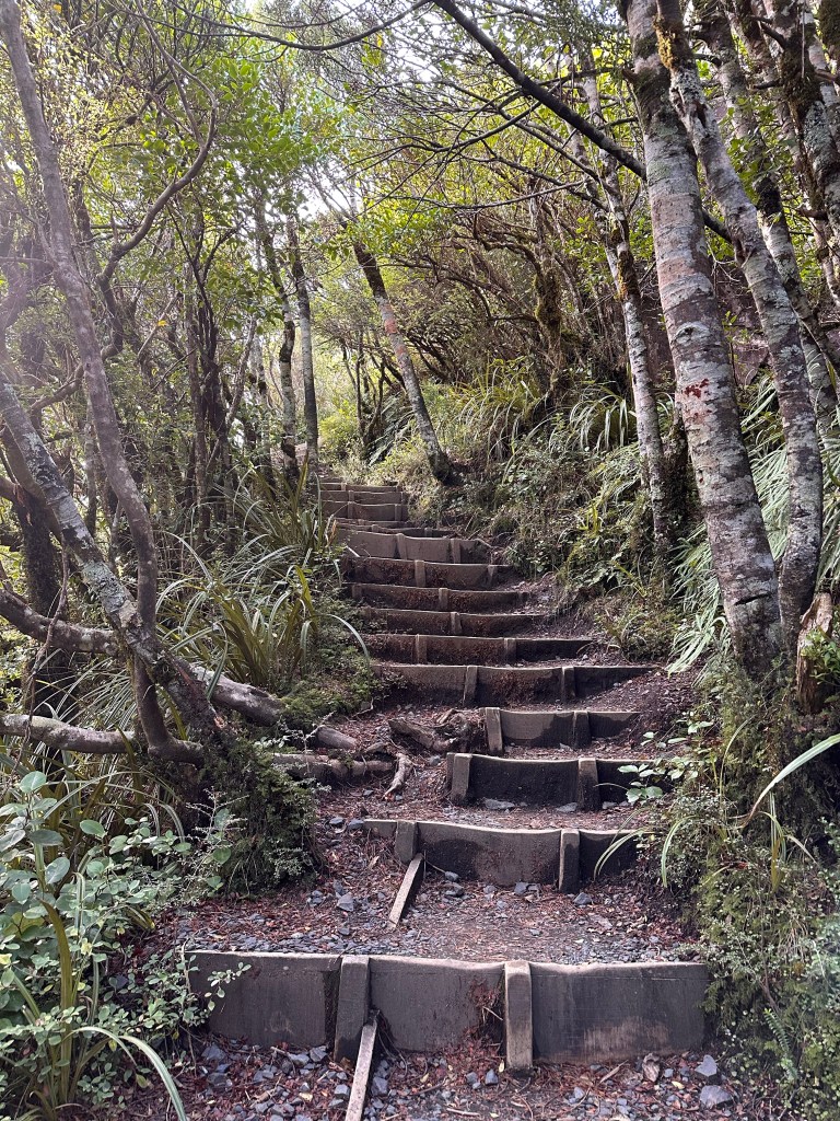
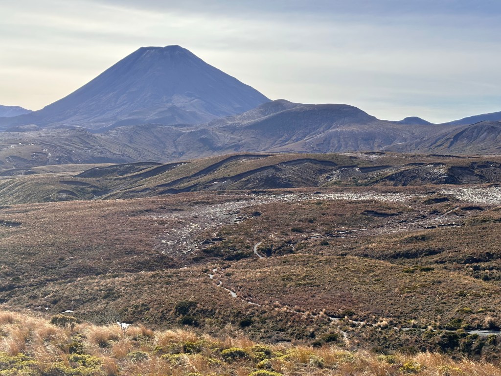
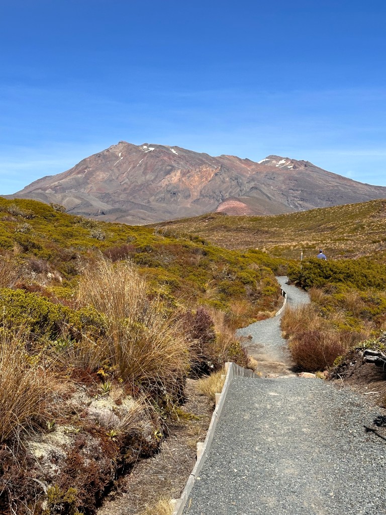
US trailheads give you distance measurements, the New Zealand ones give you measurements in time. No wonder trail distance information is so hard to figure out.Mount Ngauruhoe, AKA Mount Doom where Frodo needs to travel to in order to destroy the ring.Unlike rugged US hiking paths, this trail is nicely laid out with boardwalks,crushed gravel secured in plastics honeycomb panels,and wooden stairs and steps. All of this for free! Yep, there’s no entrance fee to the National Park. Much more equitable than US National Parks.
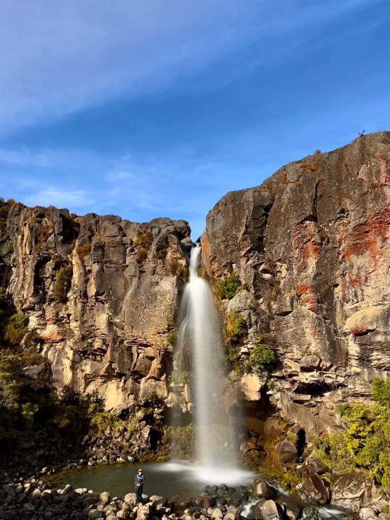
The first hour of hiking (1.8 miles per our calculations) up to the Taranaki Falls was mostly covered.
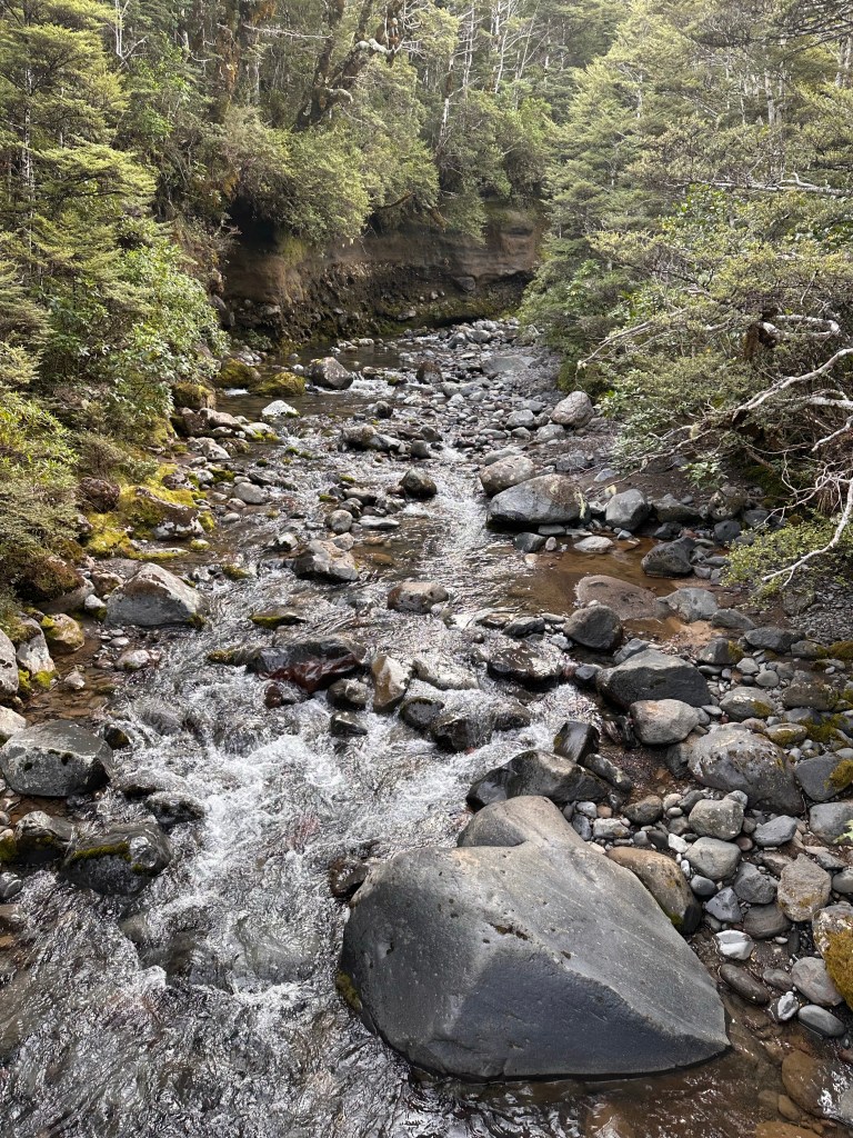
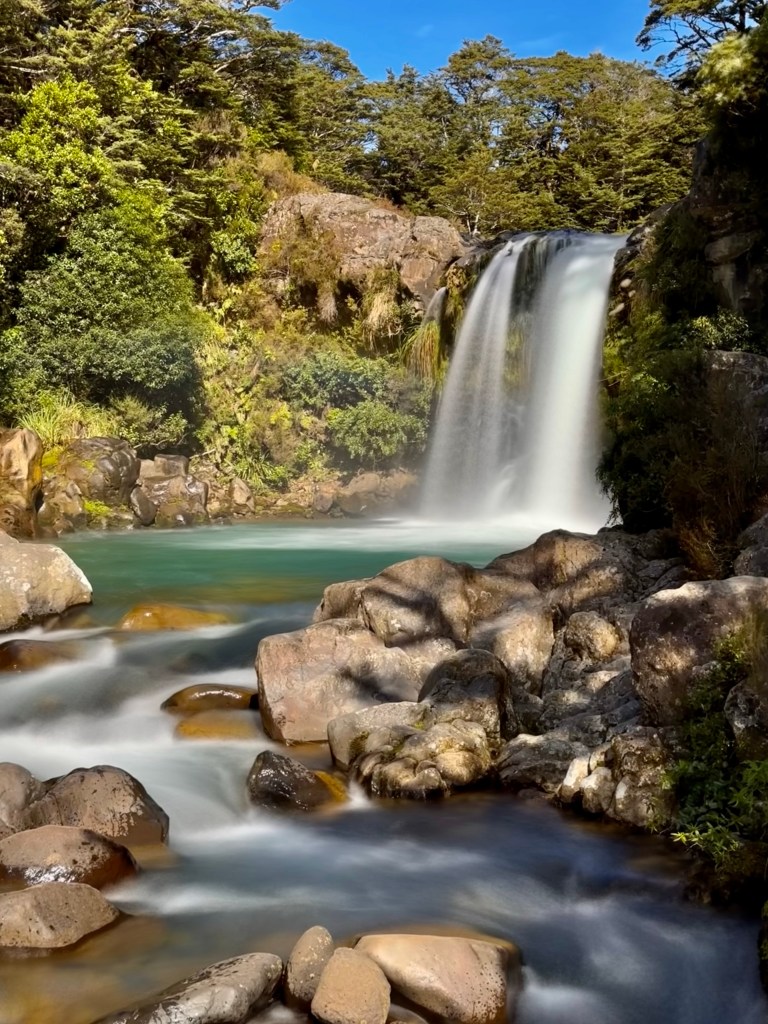
Hiking along the creek.Taranaki Falls
Perhaps due to altitude, both of us felt a little tired at this point, and debated about whether we should turn back or push forward. Luckily Joe was open to hike a little more.
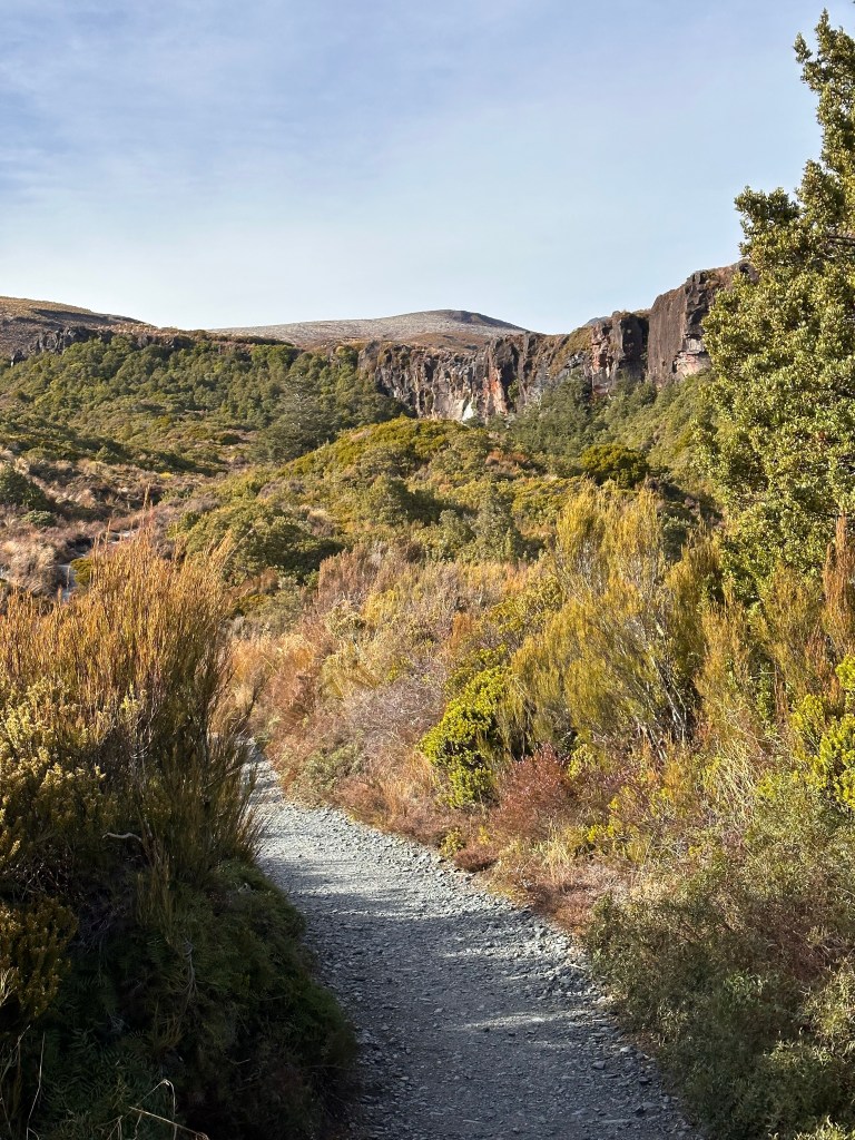
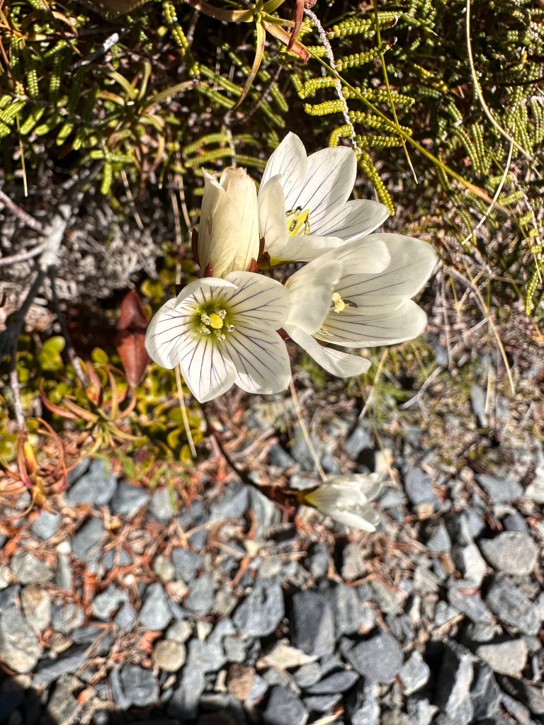
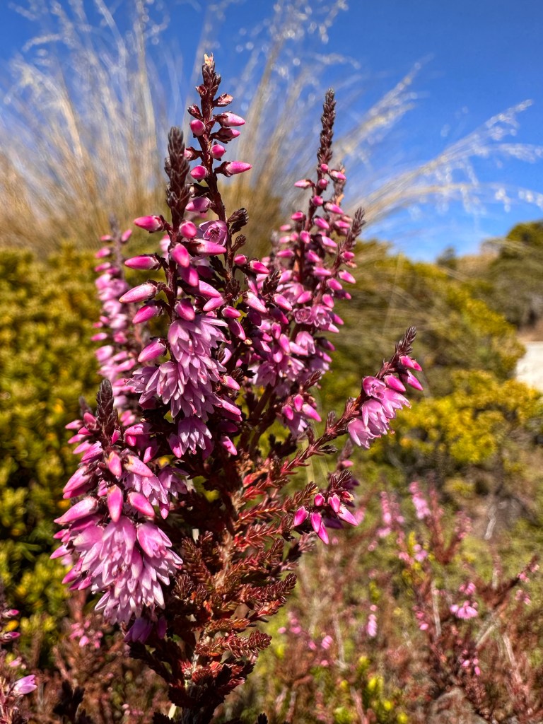
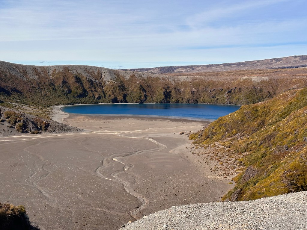
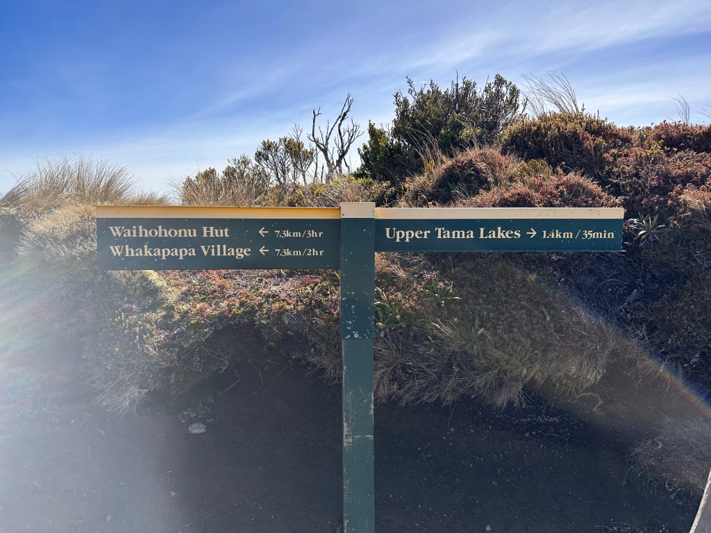
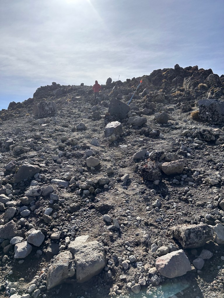
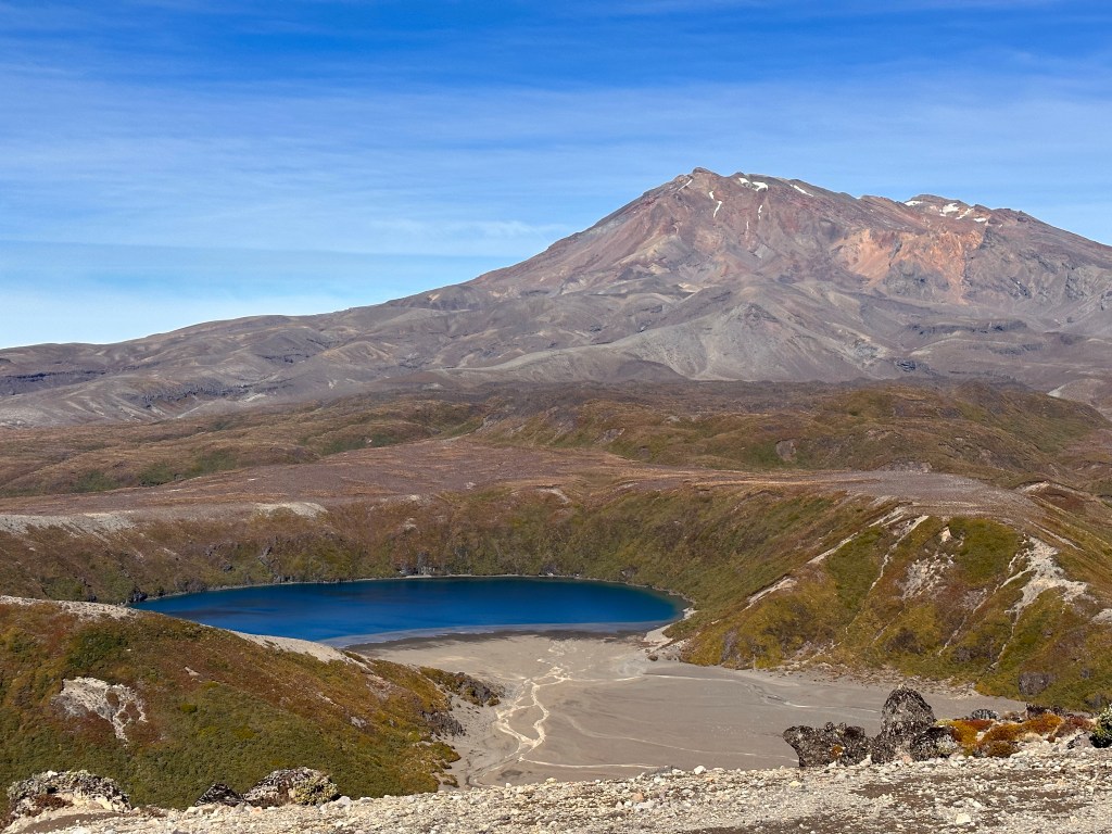
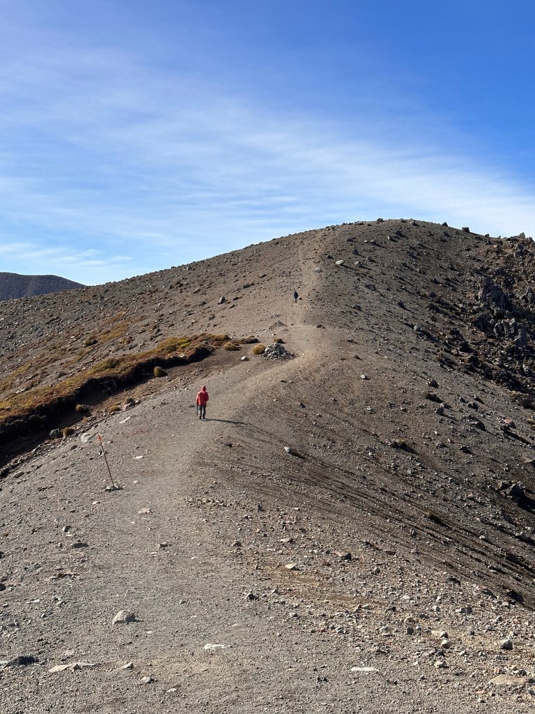
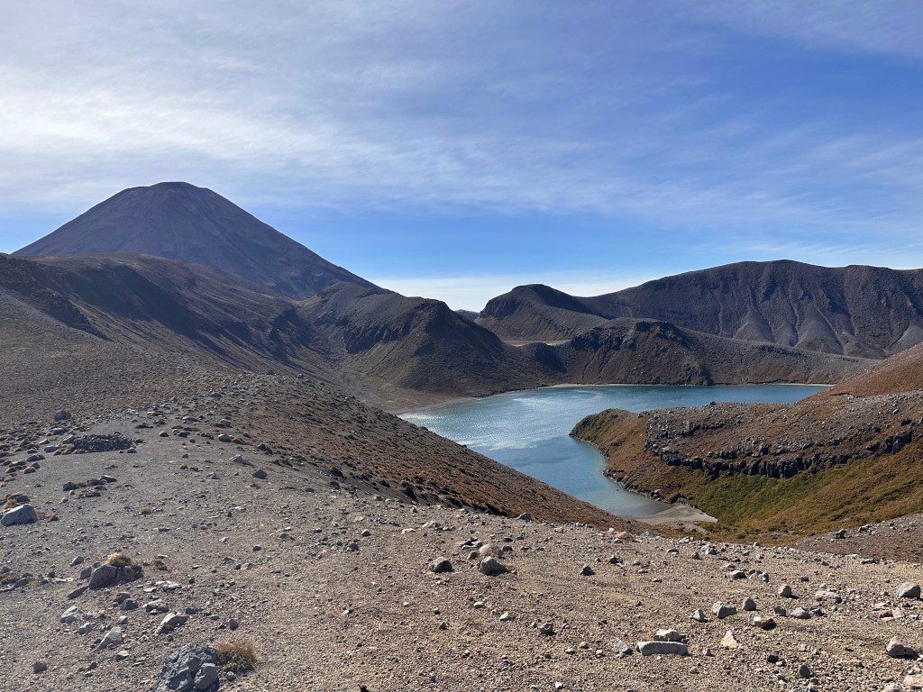
Past the waterfall, the trail is completely exposed.A view of Mount Ruapehu, the largest active volcano in New Zealand.Flowers along the trailAn hour after leaving Taranaki Falls, we reached the Lower Tama Lake. The Tama lakes formed when fresh water seeped into 3 of the 6 volcanic craters. These freshwater cold lakes remain clean, clear, and pest-freeUpper Tama Lakes was not originally part of the plan, but what’s another 35 minutes?The nicely paved trail ends at Lower Tama Lake, and the hike up to Upper Tama Lake requires a bit more effort.The higher path offers a better view of the lower lake with Mount Ruapehu as the backdrop.Scaling a second peakUpper Tama Lake encompasses 2 volcanic craters, with its own unique liverwort found nowhere else in New Zealand.
By the time we got back to our car 5 hours later, we had covered 11 miles, one mile short of the Tongariro Alpine Crossing. Despite not hiking the alpine crossing, I was pretty satisfied with this trail, as it brought us through diverse landscapes, from forest to brush land, and then through volcanic terrain. Before leaving the park, I had one more place to check out.
Tawhai Falls is a short half-mile in-and-out hike. Other than it being a beautiful waterfall, this site is known as Gollum’s Pool. Picture Smeagol squatting atop the rock at the base of the waterfall eating the fish he had just caught.