My 6-week work stint lasted a grand total of 7 days! The ever efficient government VA failed to submit paperwork to request funding for the month of May. Finally government bureaucracy working in my favor. I am re-retired! How do I let my recruiter know that he can no longer make money off my back (the poor man is still looking for positions for me). Now we have the rest of the month to explore Oregon.
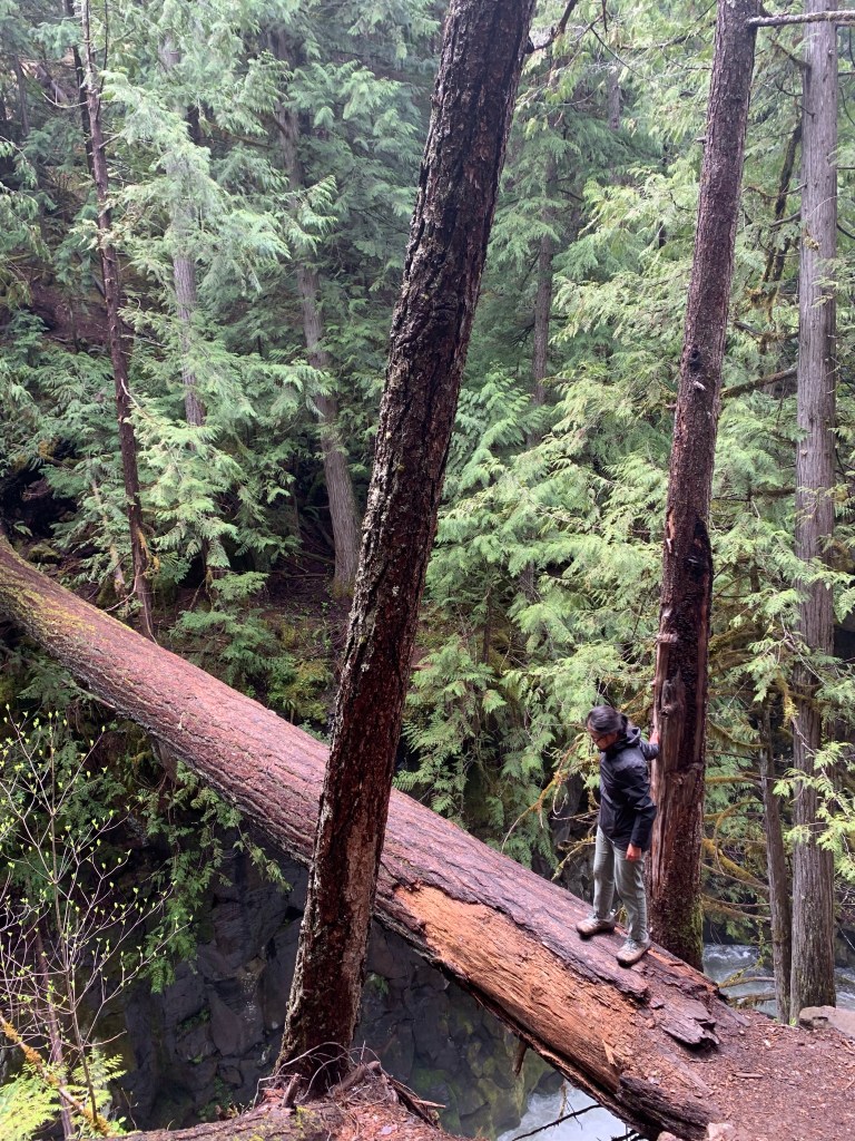
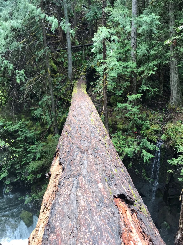
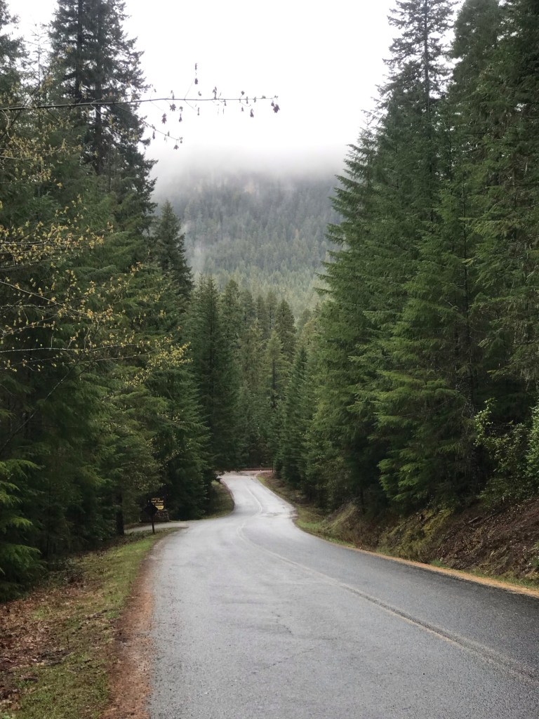
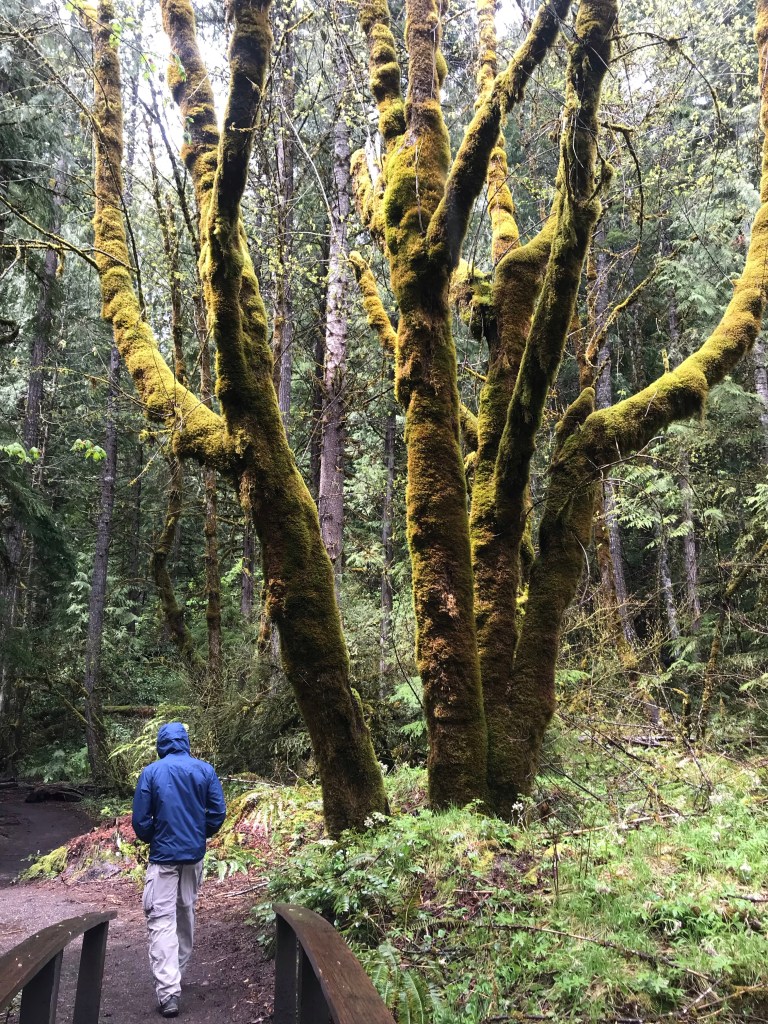
Compared to SoCal, Oregon is green and lush. It’s a great change in scenery. We opted for two short waterfall hikes in the Umpqua National forest located 2 hours northeast of Ashland. To get to the trails, we needed to summit up 5,415 ft via car before descending back down to 3,000 ft.
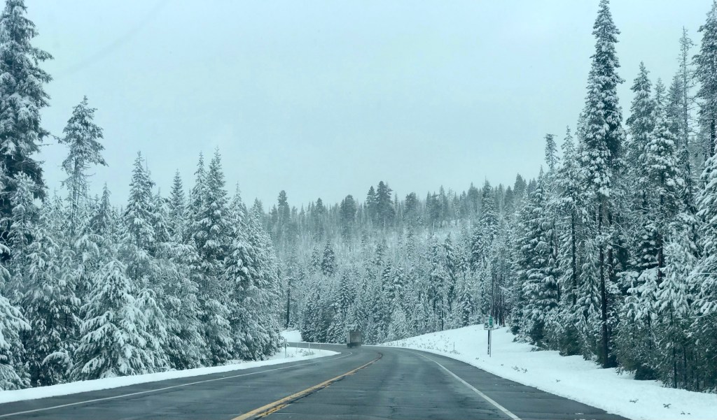
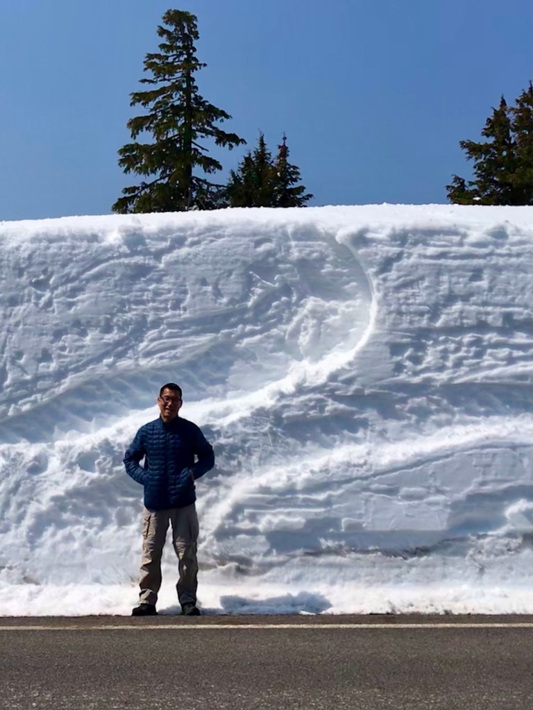
This area is next to the Crater Lake National Park, where the annual snow fall reaches up to 42ft. It sometimes takes the crew up to early July to completely clear the roads of snow, so the best time to visit the park is after July to ensure everything is open.

By the time we got to the trailhead, there was no snow in sight.
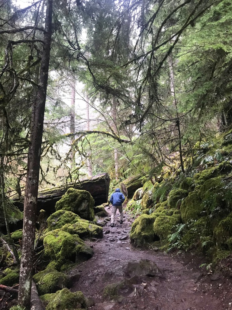
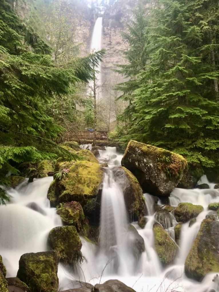
Our first trail was the Watson Falls trail. Even though it is a short and sweet 1 mile loop, it is beautiful and lush.

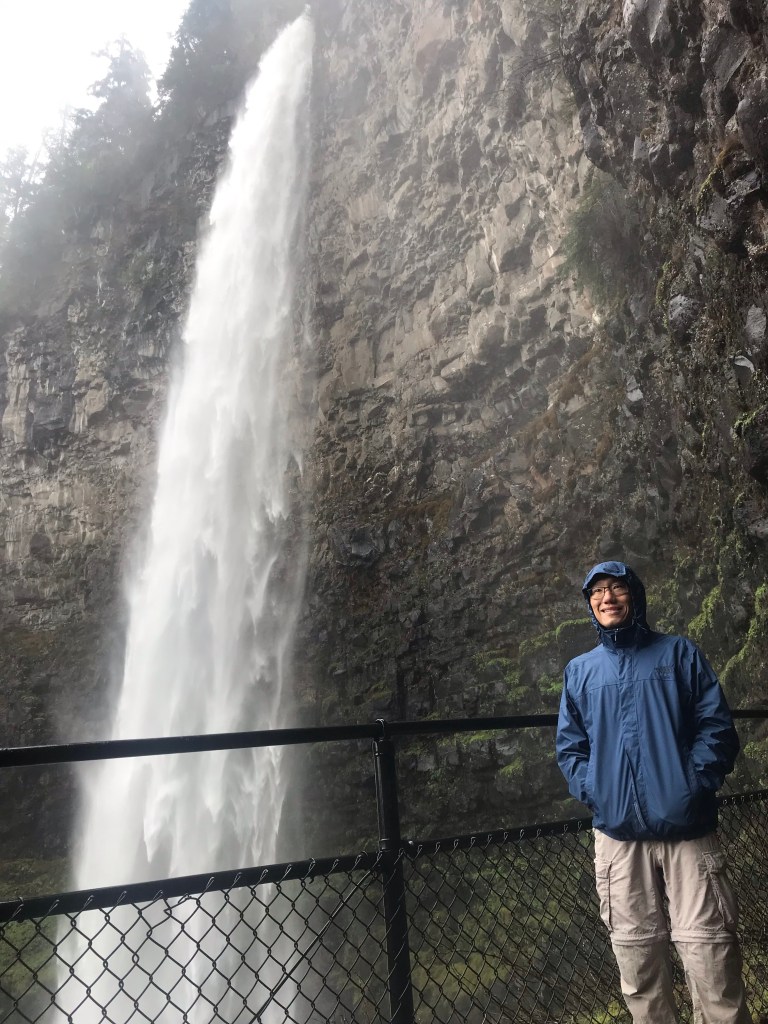
The Toketee Falls trail is a stone’s throw away from Watson Falls. Also a short hike, but slightly less scenic.
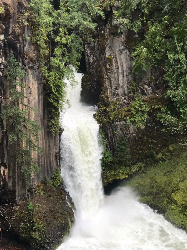
The view from the viewing platform wasn’t as nice as if you were to head down to the river bank (as seen on social media). However, in order to get down to the river bank you’d have to go down a slippery and dangerous social trail on the other side of the fence. You’re technically not allowed past the fenced area, but people have destroyed and breached the fence just to get a photo for their Instagram.