The big day is here. I had been thinking of hiking to the Wave for a few years, but never got around to entering into the lottery for a permit until this year. Tried the online lottery twice without success, and finally won the walk-in lottery on our first try. I will admit we were incredibly lucky, as people try years to get a permit. When 160,000 people apply for the annual 7,300 permits, one needs to be very lucky to score one. And the odds of winning one is getting lower and lower as more and more people apply each year.
So why did I wait years to apply for a permit? I was scared off by the fact that the trail isn’t marked and I couldn’t find any reliable information online on how to get to the Wave. It almost seems as if it was a tightly guarded secret. Was it to prevent people without a permit from hiking it? But BLM has rangers checking permits at the trailhead and at the Wave itself, and sometimes on the trail. If you don’t have a permit, you will get caught anyway. The consequences of getting caught are steep – $10,000 fine, jail time, and lifetime ban from all BLM land and Natonal Parks! BLM means business when it comes to trespassing, as their main objective is to protect the land. After having been to the Wave, I get it. Hoards of people will cause irreparable destruction to the fragile sandstone formations.
I finally decided to apply this year because one, we have all the time in the world now, and two, I have begun to feel much more comfortable in the backcountry after a year of hiking. However, that didn’t stop me from losing sleep the night before our hike. I kept studying the map that BLM had provided us during orientation, reading other online blogs, and finally drifting off to sleep after playing the trail in loops in my head.
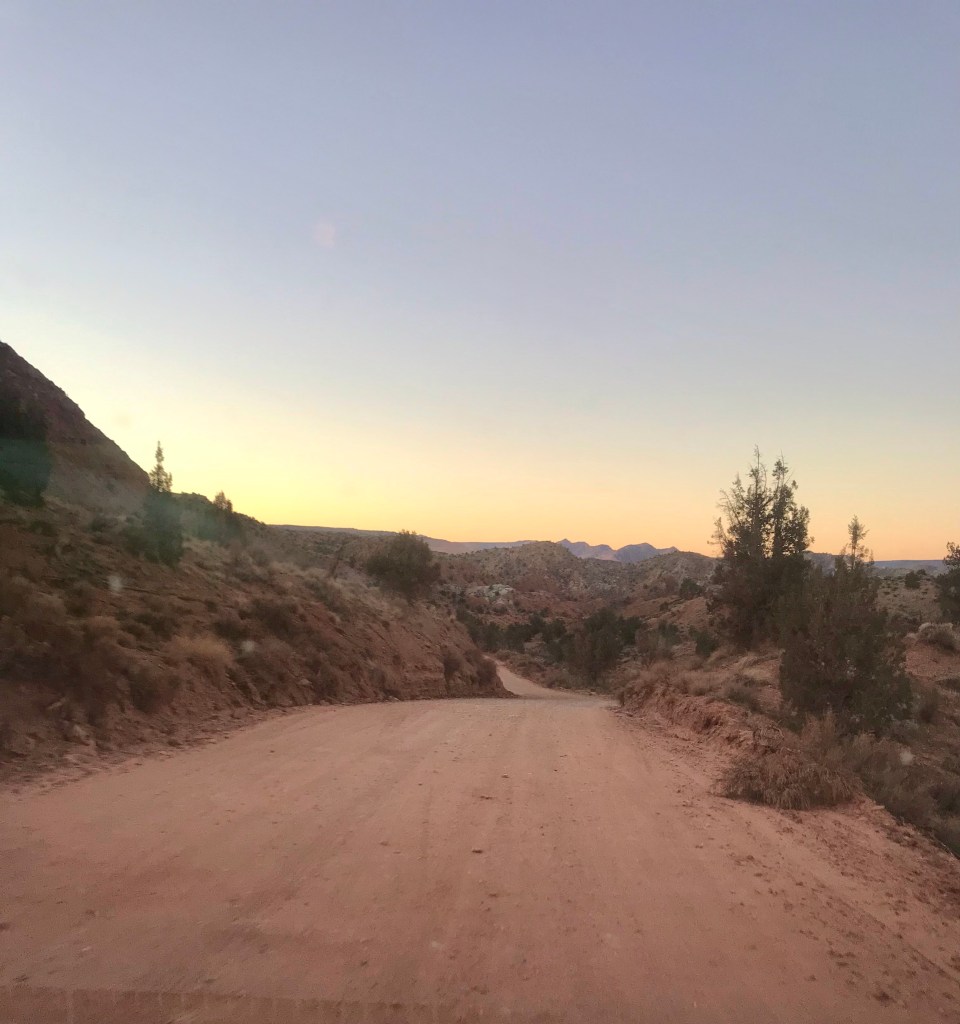
We got up at 5:30AM to make the drive out from Kanab. The first 38 miles on route 89 took us half an hour. The last 9 miles on the unpaved House Rock Valley Rd took us 40 minutes.
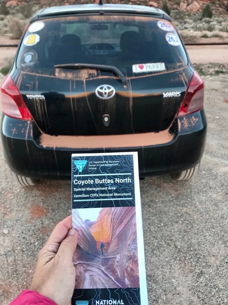
When there is flooding, House Rock Valley Rd is impassable. When it’s muddy, you’ll need a 4×4 AWD high clearance vehicle. When it’s dry, a 2 wheel drive can get you to the trail head. If you have a 15-year old Toyota Yaris, it’ll take you longer than everyone else to get there.But it gets the job done.
The most important tool for navigating the trail is the map provided by BLM at orientation. The second most important thing is a compass. For those who are directionally challenged, an offline AllTrails map or Google map will come in handy. We had our offline Google map downloaded just in case, and it served more as a confirmation that we were on the right track as opposed to a navigation tool.
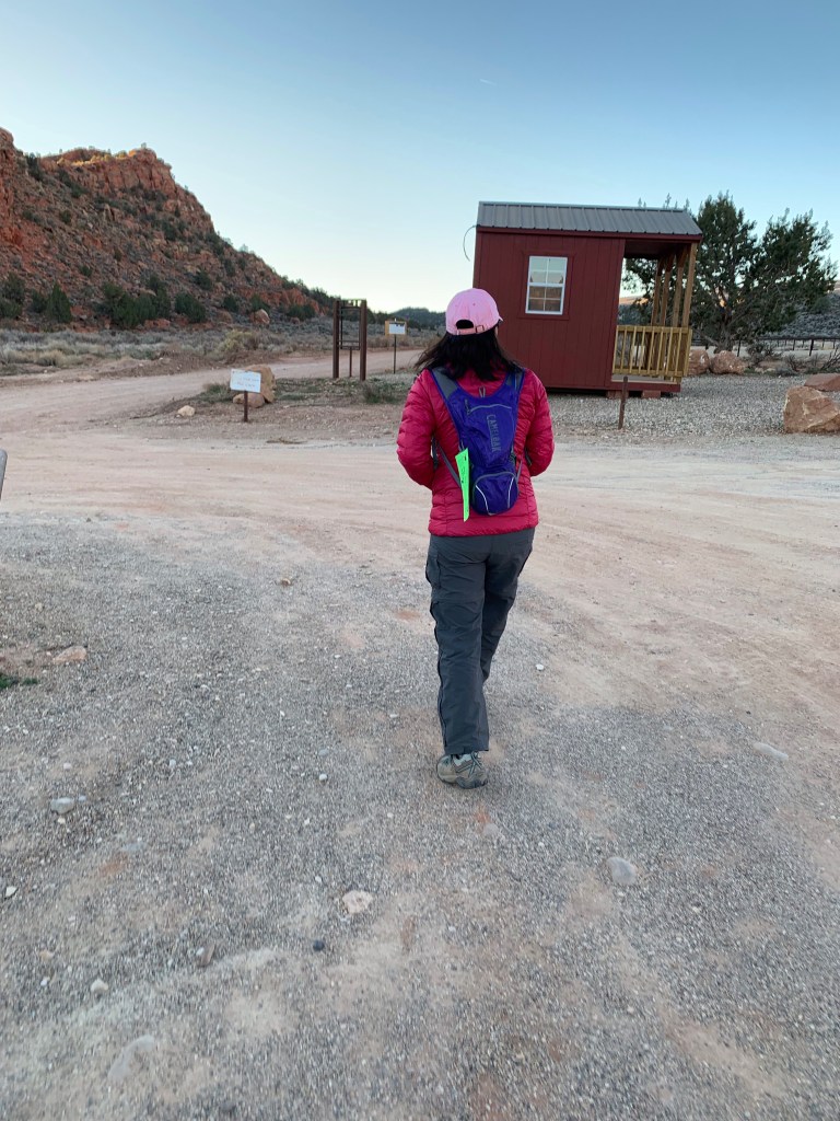
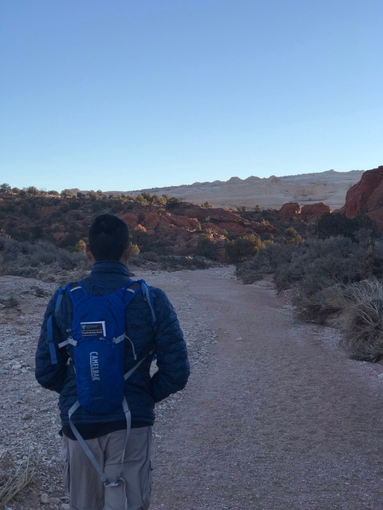
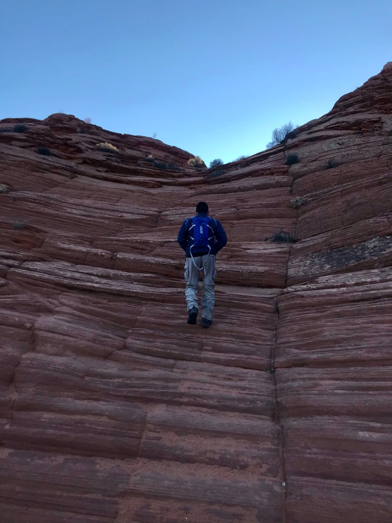
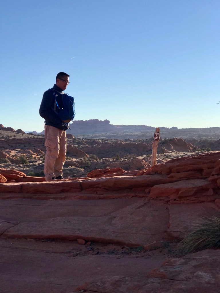
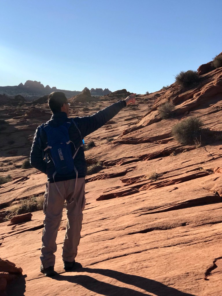
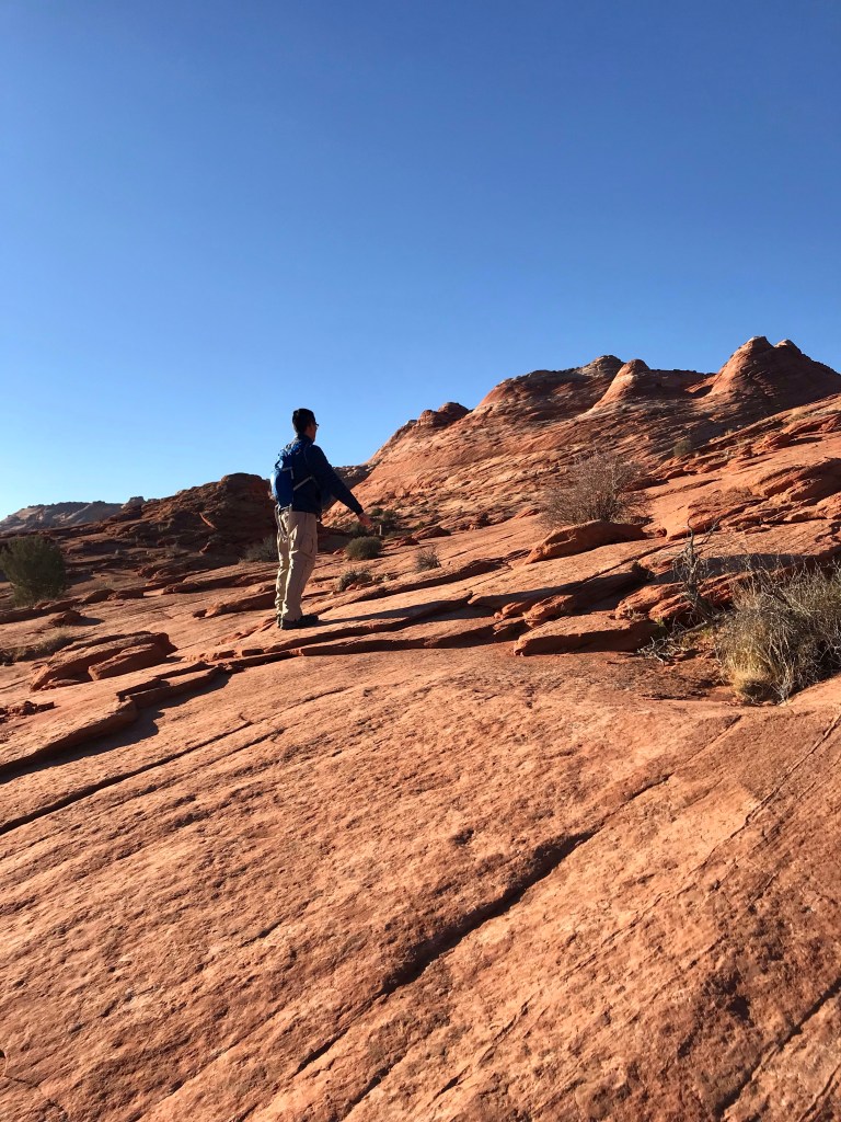
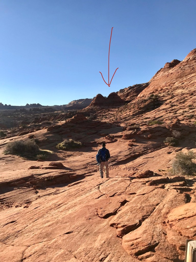
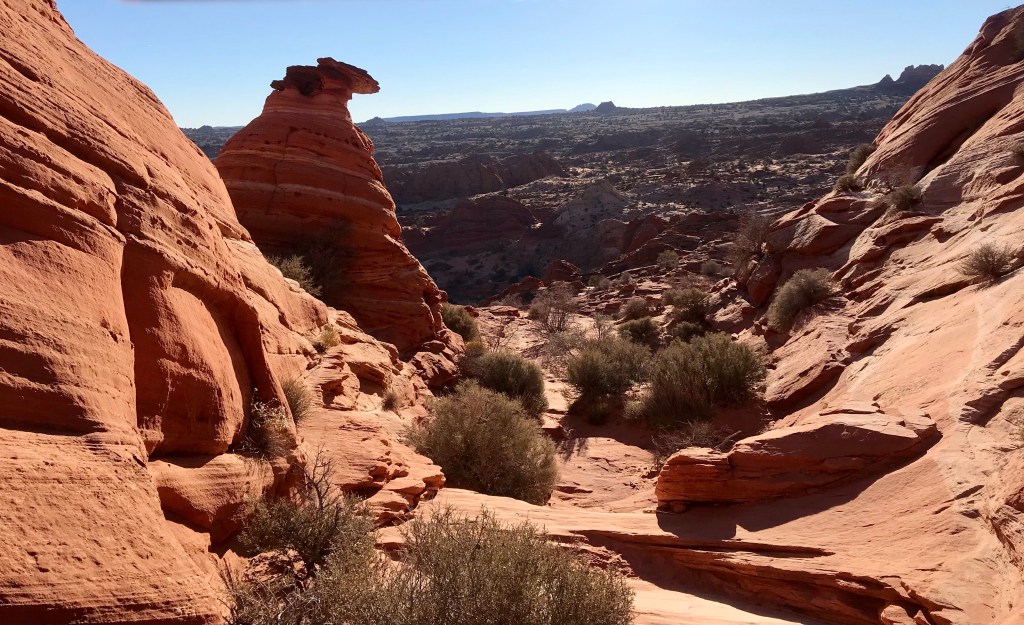
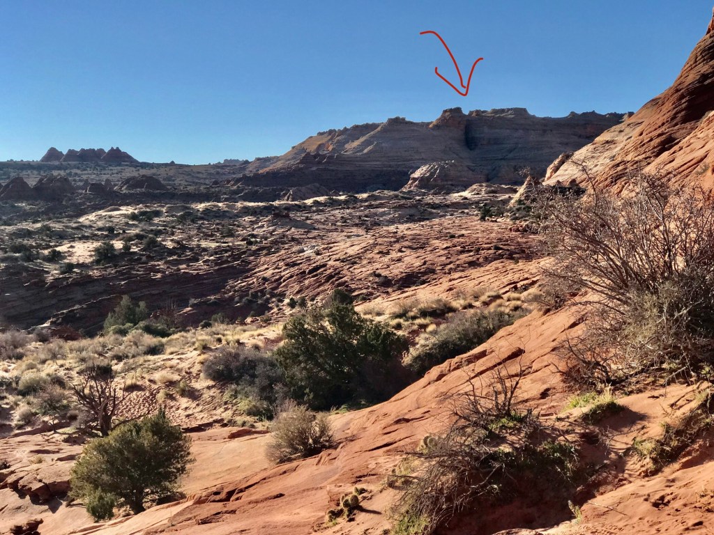
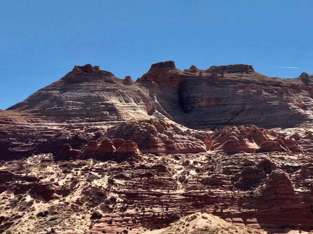
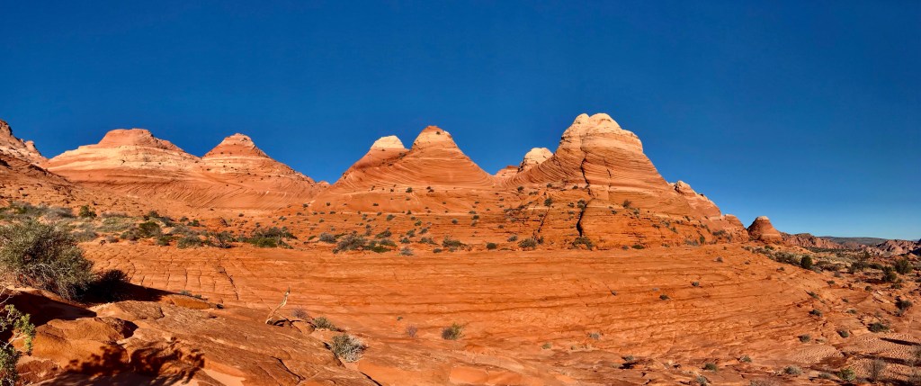
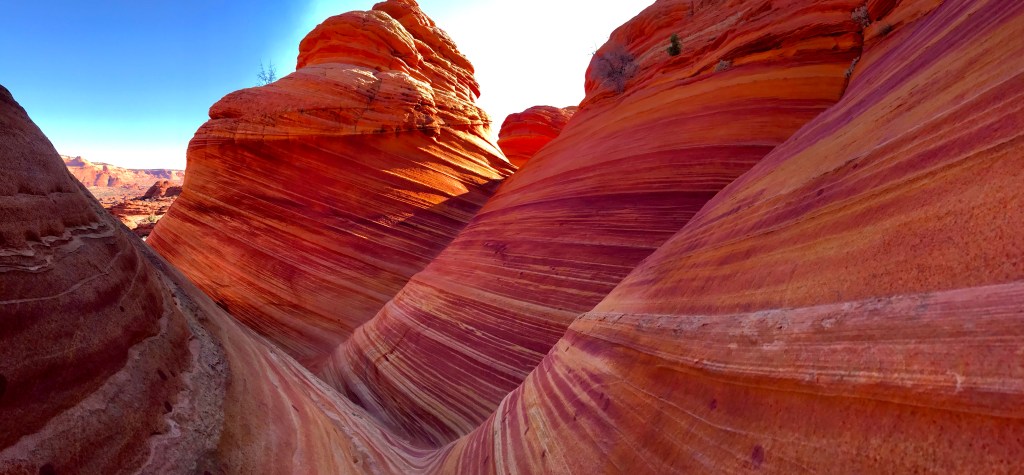
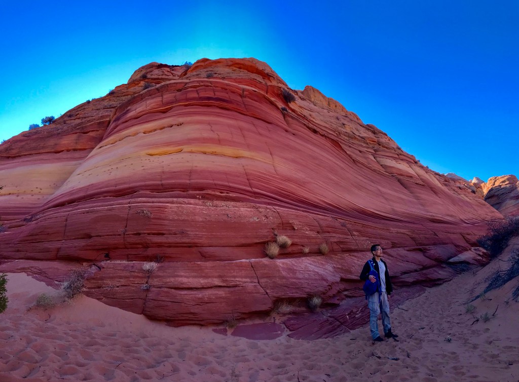
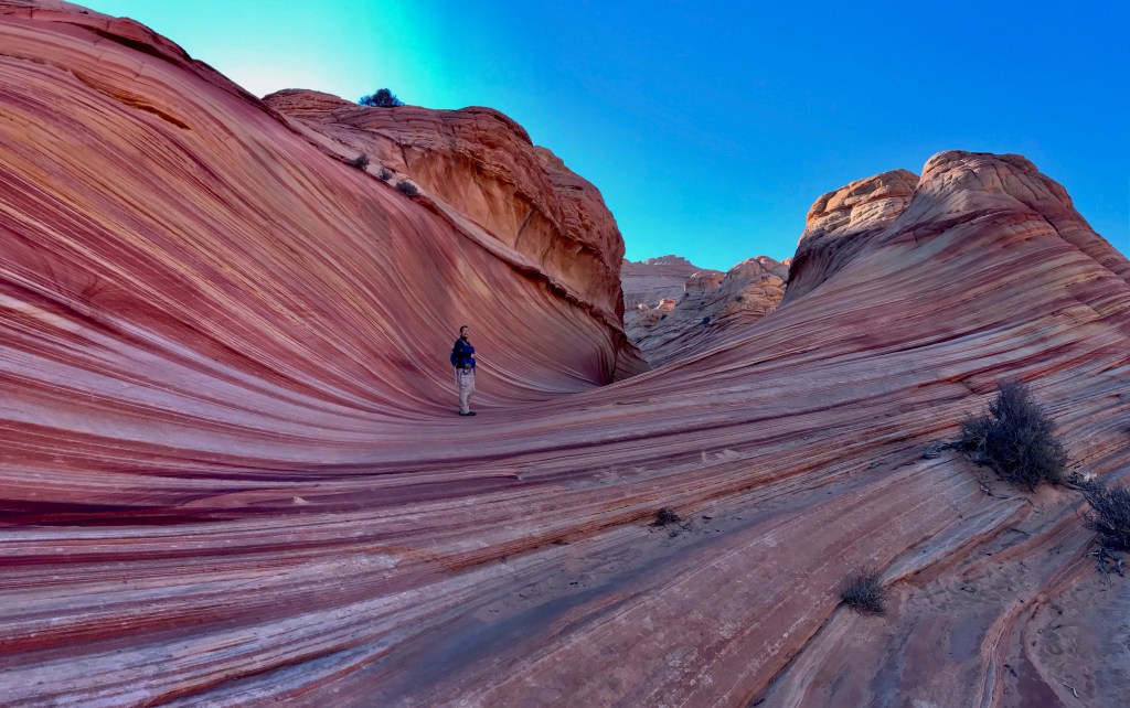
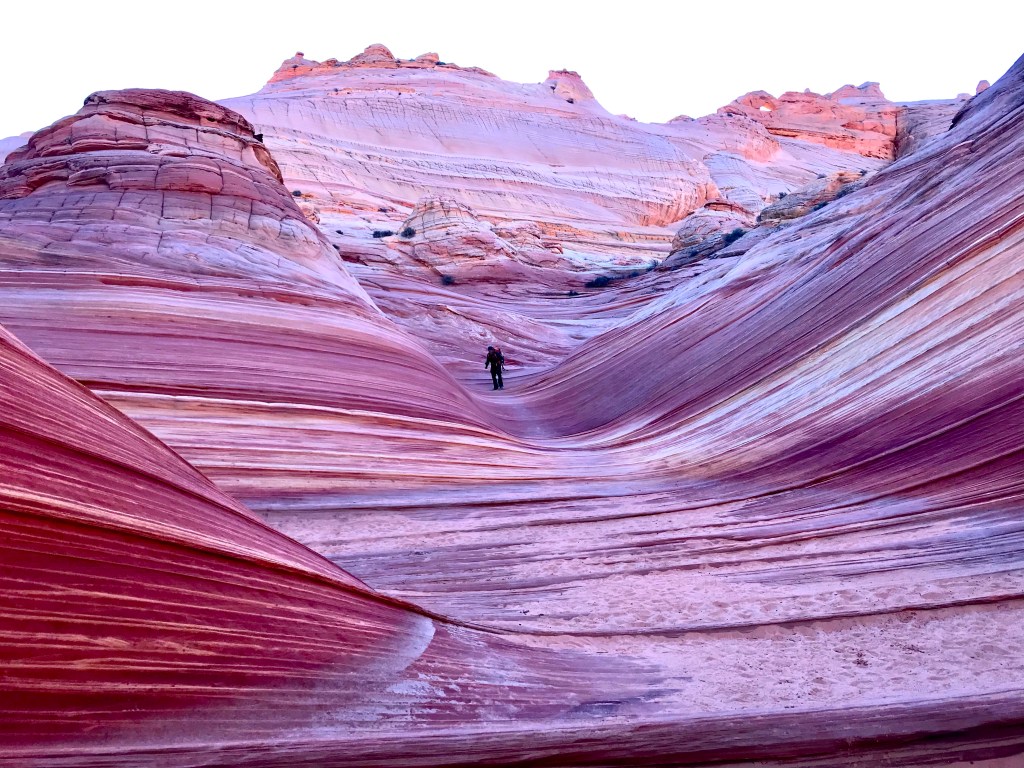
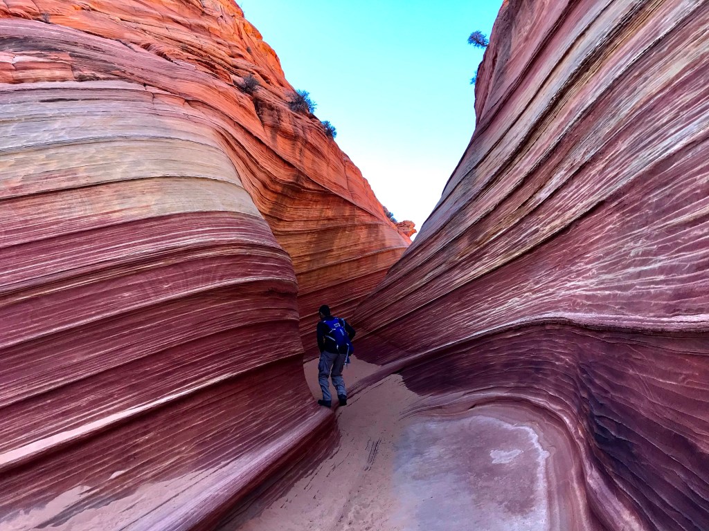
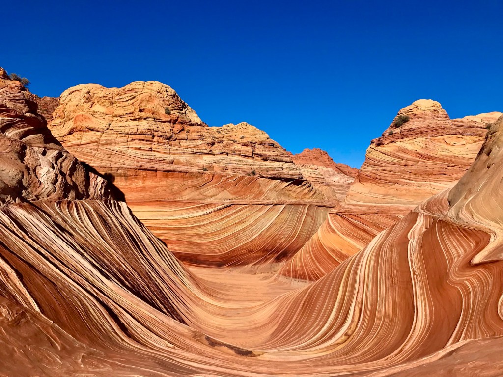
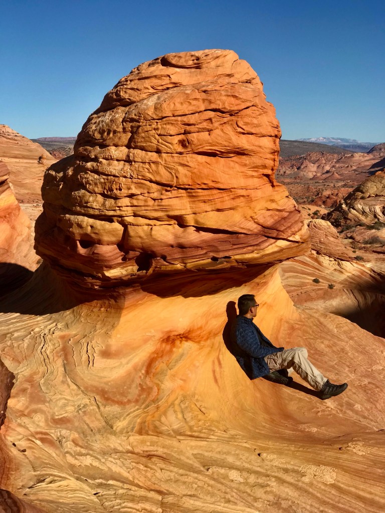
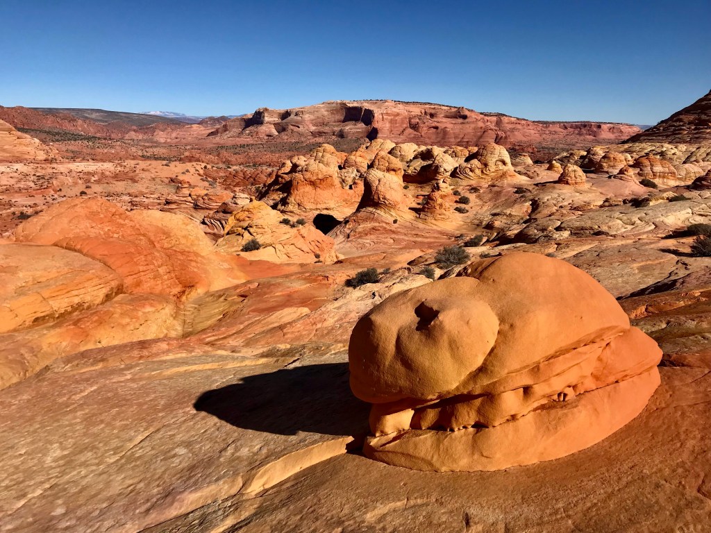
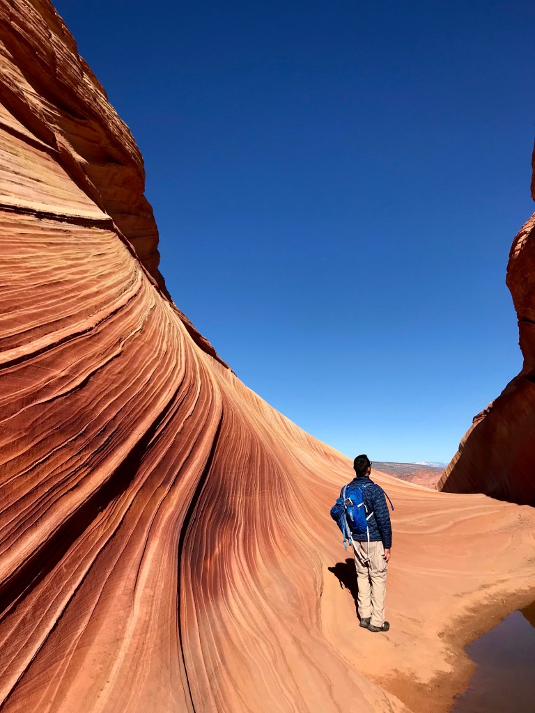
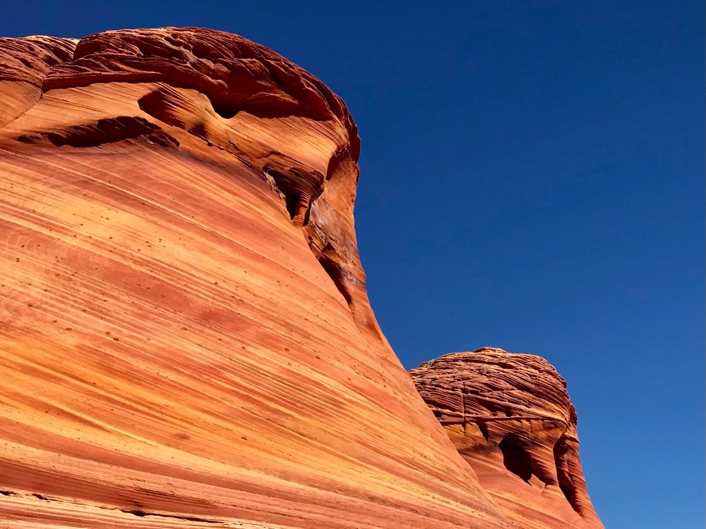
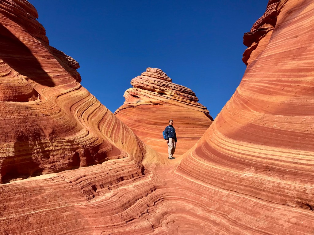
With the bright green permit attached to our pack, we were off. BLM has also put in a total of 8 markers at the beginning of the trail. Guess they got tired of rescuing lost hikers.Marker #2 directed us to go north in the washWe hiked a little under 1/2 mile in the wash before arriving to the official Coyote Buttes North trail.Marker #3 indicating the official trail that splits off to the right.An uphill trailLeading to a sandy path with footprints galore! Just follow the footprints towards the ‘saddle’ of the rocky range. Luckily for the footprints, because we weren’t sure which ‘saddle’ we were supposed to hike to.Footprints led us to a wash with marker #4 on the opposite side at the base of the ‘saddle’.Scaling up Marker #5 at the top of the saddle From this point, we were able to see marker #6. The markers on the slickrock were extremely helpful as the footprints disappeared.While standing at #6, we spotted #7.The final marker, between #7 and the twin buttes, wasn’t quite necessary as the twin butte was our next landmark to hike to.Passing over the right side of the twin butte revealed an otherworldly terrain.As soon as we rounded the corner, we saw the dark crevice. The Wave sits right below it. From here on out, it was simply marching towards the dark crevice. Somewhere around here was when we crossed the Utah-Arizona state line. The trail begins in Utah, but the Wave sits in Arizona. How cool is that!Looking back at the rock formations behind us. The tiny one on the right is part of the twin butte, and it served as a good landmark for us on our way back.We somehow took a circuitous route to the wave and ended up at this smaller beautiful formation first.But we eventually found the entrance to the Wave at the bigger rock structure.Heading inBeautiful reds and purples in the earlier part of the morningThis is what we saw when we entered, and wondered where the famous Microsoft screenshot was.Side canyon We finally saw it when we went up the sandstone and turned around. This shot was taken an hour later in full sun. Notice how all the purples and reds are all gone.We opted to explore the surroundings a bit more and ended up spending 2.5 hours there. With permits so hard to come by, we wanted to spend as much time there as possible.The second waveI called this the ‘hamburger’Joe entering into the cathedralWith natural buttresses up top Finally time to leave
This hike capped off another great trip to the southern Utah/northern Arizona region that we so love. Then it was a 4.5 hour drive to Vegas for our 3-day food fest.